2021
Robotic digitisation begins
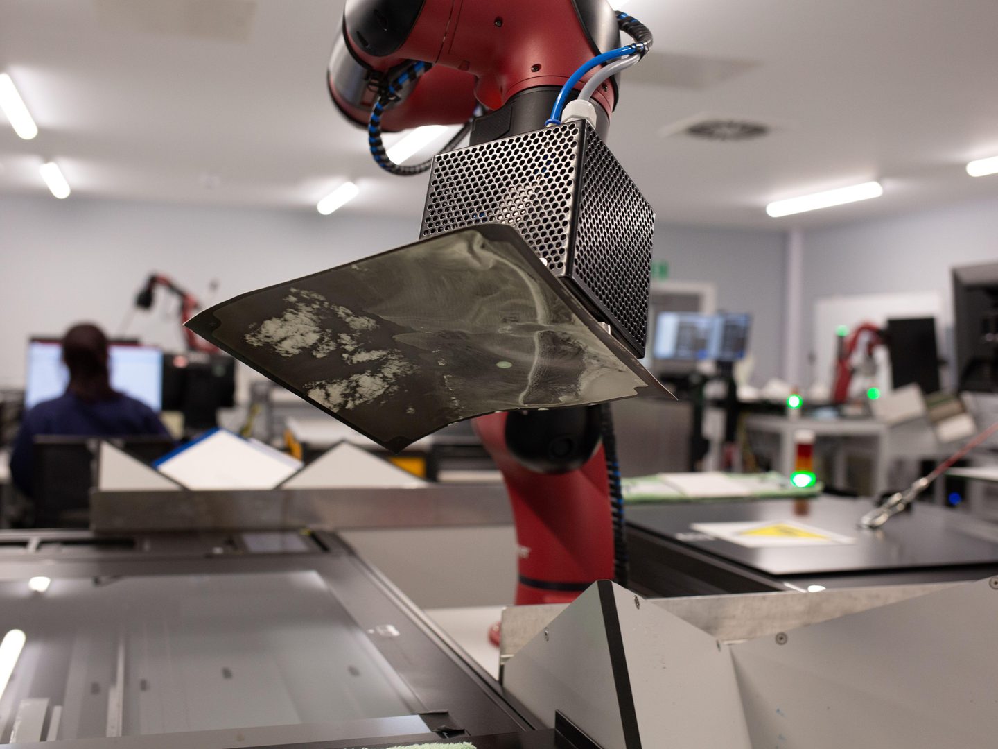
NCAP begins automated print digitisation of the DOS collection. Within just two years, this sees over 1.7 million images preserved and digitised to support international climate change research.
We use cookies to ensure our website functions properly, gather data to help improve your experience on our site, and to show you personalised advertising.
Find out what cookies are and how they are used on this website in our cookie policy.
Accept or reject all cookies, or edit your choices below and click 'Save my settings'.
Find out what cookies are and how they are used on this website in our cookie policy.

We are the custodians of a unique collection of aerial photography, featuring historic events and places from around the world.

1,500+
Images digitised daily
174
Countries and territories
100
Years of aerial imagery
NCAP image collections can be helpful in a whole manner of use cases whether personal or commercial.
Explosive ordnance disposal
Boundary disputes
Police investigations
Historical research
TV and media
Land use change & environmental
Find out more about how our images are used, licensing, or products & services.


NCAP begins automated print digitisation of the DOS collection. Within just two years, this sees over 1.7 million images preserved and digitised to support international climate change research.

The National Collection of Aerial Photography, acquired by RCAHMS and later merged to become part of Historic Environment Scotland, where the collection now sits.

Multi-decade mapping project of 55 British overseas territories eventually merges with Ordnance Survey.

The Cold War resulted in extensive aerial reconnaissance across Europe by British, American and Soviet governments.

Serving primarily as a research dataset in the University Collections, the archive of aerial photography grows extensively.

NCAP Collections document significant aspects of the planning for, and subsequent military efforts leading up to the end of the war.

A substantial segment of the NCAP Collection comprises aerial reconnaissance photographs taken throughout the global conflict.

Earliest photos in the NCAP collection are from overseas surveys of Hong Kong which serve as a significant historical record, showcasing the development and changes in landscapes and urban areas over time.